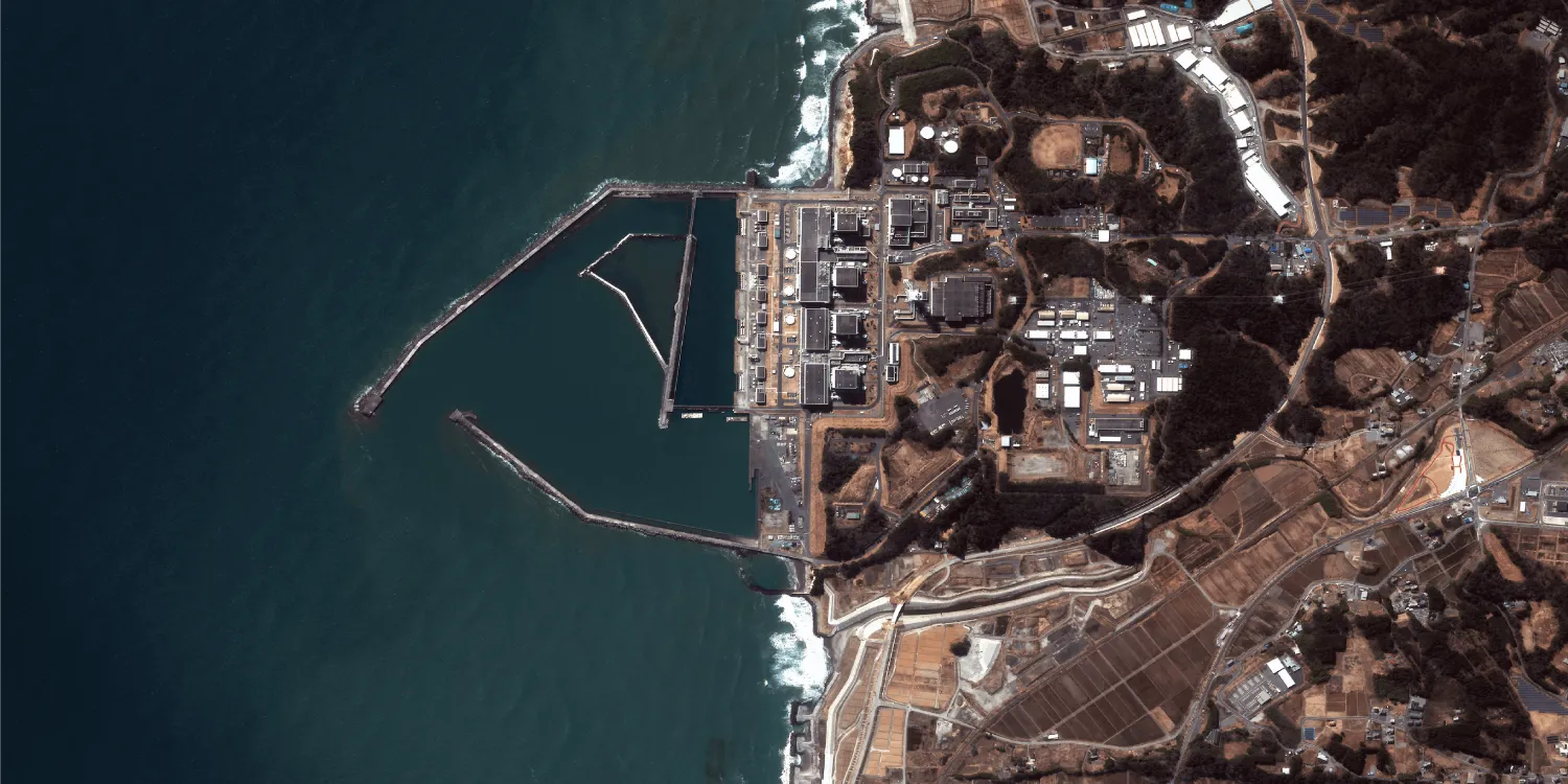
Satellogic imagery is captured by a constellation of more than 30 NewSat satellites up to 4 times a day anywhere on the globe.
-
Satellogic Tasking Order now A custom data product delivered with the acquisition, processing, and other parameters of your choice.
BAND COMBINATIONS
- 4-band: Multispectral (RGB and NIR)
API DETAILS
- Name:
- satellogic-tasking
- ID:
- 9f790255-e8dc-4954-b5f9-3e7bea37cc69
| Specification | Description |
|---|---|
| Provider | Satellogic |
| Collection type | Tasking from 32,250 credits per scene Catalog from 515 credits per km2 |
| Product type | Multispectral |
| System type | Satellite |
| Specification | Description |
|---|---|
| Resolution | Native:
Processed:
|
| Bit depth per pixel | 8-bit 16-bit |
| Delivery format | A ZIP file containing the following files:
|
| Masks | Cloud ROI Transparency |
| NoData value | 0 |
| Primary | Georectified | Orthorectified | |
|---|---|---|---|
| Basic |  | | |
| TOA | | |  |
| Surface reflectance | | | |
| Display | | | |
| Primary | Georectified | Orthorectified | |
|---|---|---|---|
| Basic | | | |
| TOA | | | Level 1* |
| Surface reflectance | | | |
| Display | | | Level 3* |
*Upon request.
| Specification | Description |
|---|---|
| Acquisition mode | Mono |
| Incidence angle | Up to 90° |
| Tasking priority | Standard Rush |
| Orbit | Sun-synchronous, at 475 km |
| Number of satellites | 22+ |
| Revisit rate | 4 times a day |
| Swath width | 5 km |
| Specification | Description |
|---|---|
| Spectral bands | 450–510 nm (blue) 510–580 nm (green) 590–690 nm (red) 750–900 nm (near-infrared) |
| Specification | Description |
|---|---|
| Coordinate reference system | UTM-WGS84 |
| Positional accuracy | 10 m CE90 absolute |
| Specification | Description |
|---|---|
| Limitations | Input: POI Cloud coverage: 0–100% Output: Scenes of a certain size intersecting the defined POI:
|
| Minimum charge | As per 1 scene |
| Specification | Description |
|---|---|
| Limitations | Input: AOI at least 5 km wide Availability: From 2021 Output: AOI-clipped imagery |
| Minimum charge | As per 50 km2 |
The geographic coverage is global.