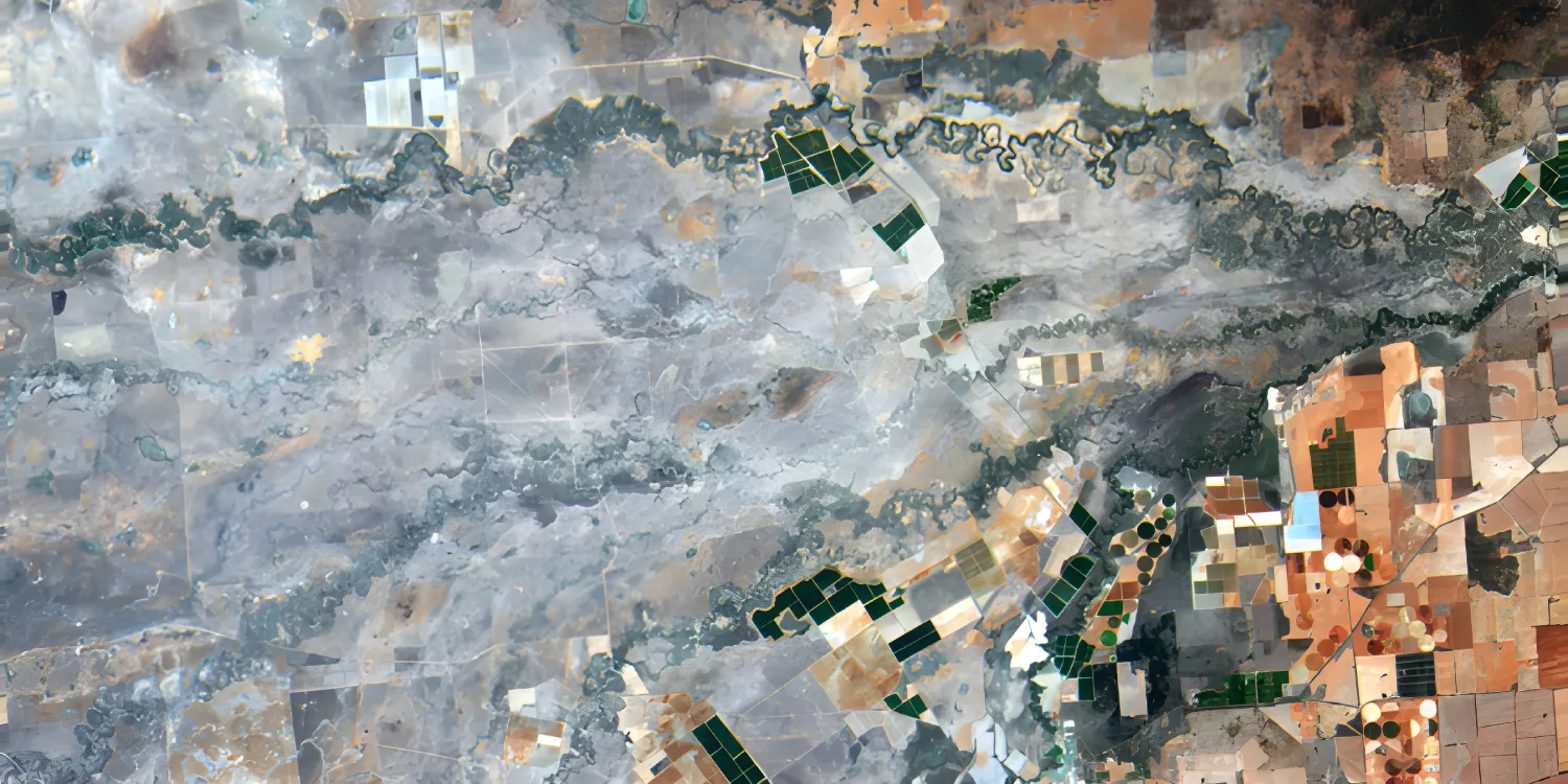
Hydrosat provides low resolution 30 m RGB, red edge, and near-infrared (NIR) imagery and 70 m thermal infrared (TIR) imagery acquired by VanZyl-1. Catalog datasets are available starting from 2024.
-
Hydrosat Tasking Order now A non-integrated data product.
BAND COMBINATIONS
- 2-band: Thermal infrared
- 7-band: Multispectral (RGB, red edge, and NIR)
- Land surface temperature (LST) data
- Land surface reflectance (LSR) data
- Thermal emissivity data
-
Level 1A (Daytime TIR) Order now A non-integrated data product.
BAND COMBINATIONS
- 2-band: Thermal infrared
-
Level 1A (Nighttime TIR) Order now A non-integrated data product.
BAND COMBINATIONS
- 2-band: Thermal infrared
-
Level 1A (Visual) Order now A non-integrated data product.
BAND COMBINATIONS
- 7-band: Multispectral (RGB, red edge, and NIR): RGB, red edge, and NIR
-
Level 1B (Daytime TIR & Visual) Order now A non-integrated data product.
BAND COMBINATIONS
Bundle of the following:
- 7-band: Multispectral (RGB, red edge, and NIR): RGB, red edge, and NIR
- 2-band: Thermal infrared
-
Level 1B (Nighttime TIR) Order now A non-integrated data product.
BAND COMBINATIONS
- 2-band: Thermal infrared
-
Level 2 (Land Surface Data) Order now A non-integrated data product.
BAND COMBINATIONS
Bundle of the following:
- Land surface temperature (LST) data
- Land surface reflectance (LSR) data
- Thermal emissivity data
| Specification | Description |
|---|---|
| Provider | Hydrosat |
| Collection type | Tasking from 715 credits per km2 Catalog from 170 credits per km2 |
| Product type | Multispectral |
| System type | Satellite |
| Specification | Description |
|---|---|
| Resolution | Multispectral: 30 m Thermal: 70 m |
| Bit depth per pixel | 16‑bit |
| Delivery format | A ZIP file containing the following files:
|
| Masks | Cloud (only in levels 1B and 2) Environmental |
| NoData value | 0 |
| Primary | Georectified | Orthorectified | |
|---|---|---|---|
| Basic |  |  * * | |
| TOA | | | * |
| Surface reflectance | | | * |
| Display | | | |
| Primary | Georectified | Orthorectified | |
|---|---|---|---|
| Basic | | Level 1A (Daytime TIR)* Level 1A (Nighttime TIR)* Level 1A (Visual)* | |
| TOA | | | Level 1B (Daytime TIR & Visual)* Level 1B (Nighttime TIR)* |
| Surface reflectance | | | Level 2 (Land Surface Data)* |
| Display | | | |
*Upon request.
| Specification | Description |
|---|---|
| Acquisition mode | Mono |
| Off-nadir angle | From 0° to 60° |
| Tasking priority | Standard |
| Orbit | Sun-synchronous, at 500–600 km |
| Number of satellites | 2 |
| Revisit rate | Every 2 days |
| Swath width | 70.5 km |
| Specification | Description |
|---|---|
| Spectral bands | Thermal infrared bands:
Multispectral bands:
|
| Specification | Description |
|---|---|
| Coordinate reference system | Georectified: Geographic-WGS84 Orthorectified: UTM-WGS84 |
| Specification | Description |
|---|---|
| Limitations | Input: AOI Cloud coverage: 0–100% Output:
|
| Minimum charge | As per 500 km2 |
| Specification | Description |
|---|---|
| Limitations | Input: AOI Availability: From 2024 Output:
|
| Minimum charge | As per 500 km2 |
The geographic coverage is global.