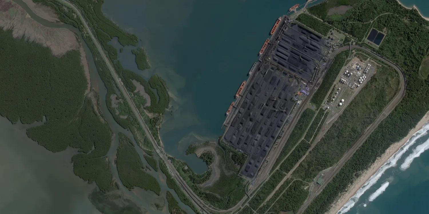
Planet’s SkySat imagery is acquired by high resolution multispectral satellites anywhere on the globe. Catalog datasets are available starting from 2016.

| Data product | Spectral bands combination | Order link |
|---|---|---|
| Custom |
skysat-tasking | c593bae4-c334-4dd7-848c-816e1407bb67 |
| Data product | Spectral bands combination | Order link |
|---|---|---|
| Pansharpened | 4-band: Pansharpened (RGB and NIR) API name and ID:skysat-pansharpened | 5932940c-187d-41f4-b3d2-8bdd4af293006032bb0e-2cb9-4a01-b45d-831f2d7b8dad | |
| Analytic Surface Reflectance | 4-band: Multispectral (RGB and NIR) API name and ID:skysat-analytic-sr | 6072c8b1-219f-4fd8-be7d-bf4d22b311b17e2bbd5b-e739-475a-9680-e68821f1dfea | |
| Analytic TOA | 4-band: Multispectral (RGB and NIR) API name and ID:skysat-analytic-toa | 34347f34-74bc-4a9f-a211-39d76fff8d679ad2d159-6b61-489a-b66a-6c11ca04e6dc | |
| Visual | 3-band: Pansharpened (RGB) API name and ID:skysat-visual | 9811a8f3-ea28-40e4-b00b-5685db90d6e9f56df010-523e-43e2-8963-cd9f503629df | |
| Panchromatic | 1-band: Panchromatic API name and ID:skysat-panchromatic | 3474f13d-5b0d-4655-8c82-45c9f95ea68bc3d0106c-661e-4322-a0d1-020925e8dff7 |
| Specification | Description |
|---|---|
| Provider | Planet |
| Collection type | Tasking from 37,000 credits per scene Catalog from 800 credits per km2 |
| Product type | Multispectral |
| System type | Satellite |
| Specification | Description |
|---|---|
| Resolution | 50 cm |
| Bit depth per pixel | 16-bit |
| Delivery format | A ZIP file containing the following files:
|
| Masks | A UDM GeoTIFF file containing the following masks:
|
| NoData value | 0 |
| Primary | Georectified | Orthorectified | |
|---|---|---|---|
| Basic | |||
| TOA |
| ||
| Surface reflectance | Analytic Surface Reflectance | ||
| Display | Visual |
| Specification | Description |
|---|---|
| Acquisition mode | Mono |
| Incidence angle | From 10° to 30° |
| Tasking priority | Standard |
| Orbit | Sun-synchronous, at 500 km |
| Number of satellites | 15 |
| Revisit rate | 7 times a day |
| Swath width | 5.9 km |
| Specification | Description |
|---|---|
| Spectral bands | Panchromatic: 450–900 nm Multispectral:
|
| Specification | Description |
|---|---|
| Coordinate reference system | UTM-WGS84 |
| Positional accuracy | < 10 m RMSE absolute |
| Specification | Description |
|---|---|
| Limitations | Input: AOI from 25 km2 Cloud coverage: 0–15%, not selectable Output: AOI-clipped imagery |
| Minimum charge | As per 25 km2 |
| Specification | Description |
|---|---|
| Limitations | Input: AOI Availability: From 2016, older than 30 days Output: AOI-clipped imagery |
| Minimum charge | As per 25 km2 |